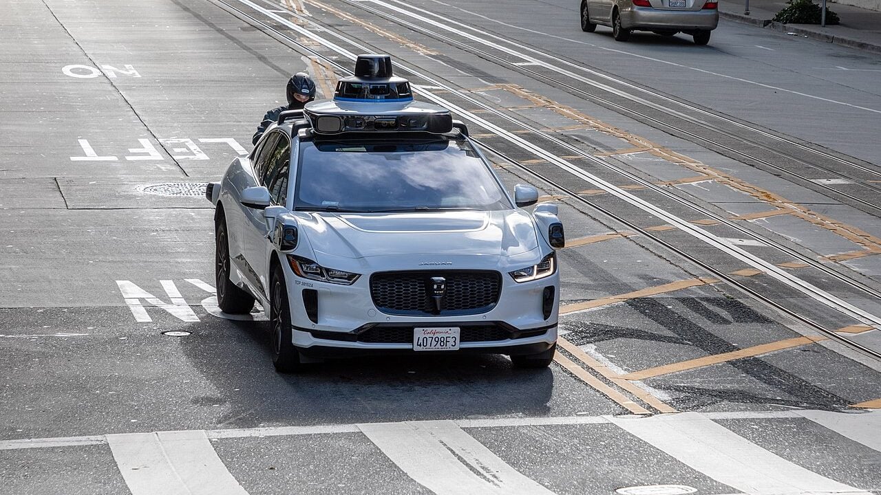
Every driver knows the sinking feeling of a pothole rattling their car at the worst possible moment. Now, two of the most recognizable names in navigation and autonomous driving technology are working together to make sure cities can find and fix those hazards faster than ever before. Waymo, the self-driving vehicle company under Alphabet’s umbrella, and Waze, the popular crowd-sourced navigation app, have launched a joint pilot program designed to feed real-time road condition data directly to city and state transportation officials.
The partnership taps into something Waymo’s vehicles already do naturally. As the autonomous cars navigate roads in the areas where they operate, their built-in perception systems and physical feedback sensors detect surface irregularities like potholes and log that information. Rather than keeping that data internal, Waymo is now routing it to local Departments of Transportation through Waze’s existing free platform for city governments, known as Waze for Cities. The result is a detailed, continuously updated picture of road conditions that officials can act on without waiting for a resident to call 311.
For most cities, that waiting game has historically been the primary method for identifying road problems. Public complaint systems and periodic manual inspections have long been the backbone of road maintenance programs, but those approaches leave plenty of gaps, especially in neighborhoods where residents are less likely to report issues. This new initiative aims to supplement and strengthen those existing systems, giving transportation agencies a more complete and equitable look at where roads need attention.
How the Technology Actually Works
Waymo’s autonomous vehicles are already packed with sensors that help them navigate safely, and it turns out those same systems are well-suited for detecting road surface problems. When a vehicle encounters a pothole, both its perception hardware and physical response data record the event. That information gets passed along to Waze for Cities, the platform that Waze has offered municipalities for free to help them better understand traffic and road conditions.
Waze users also play a role. Drivers using the app can spot and report potholes independently, and when Waymo’s vehicles flag a location, regular Waze users can confirm or verify those reports. That combination of machine detection and human verification helps sharpen the accuracy of the data before it reaches city planners and maintenance crews.
Arielle Fleisher, Policy Development and Research Manager at Waymo, framed the effort as a natural extension of the company’s broader safety mission, noting that the goal is to build on the benefits the service already provides by partnering with cities to improve shared infrastructure.
Where the Program Is Running and What Comes Next
The pilot is currently active across five metropolitan areas: the San Francisco Bay Area, Los Angeles, Phoenix, Austin, and Atlanta. Across those regions, Waymo has already flagged roughly 500 potholes through the program, giving local transportation departments a concrete starting point for prioritizing repairs.
Sacramento is expected to be added to the program as Waymo expands its ride-hailing footprint there. That addition could be especially meaningful given the scale of Sacramento County’s road network, which includes more than 5,200 lane miles of paved roads. A data-driven identification system could help the county direct maintenance resources more efficiently and reduce the lag time between when a pothole forms and when a crew is dispatched to fix it.
The broader implications of this kind of public-private collaboration are worth watching. As autonomous vehicles become more common on American roads, the data they generate could become an increasingly valuable resource for city planning, infrastructure investment, and public safety. For now, the Waymo-Waze partnership offers a practical glimpse into what that future might look like, one pothole at a time.