Somewhere in the San Bernardino Mountains, in the middle of a sudden burst of hail, graupel, and snow, a Toyota 4Runner ended up on its roof, the kind of crash that usually ends with a tow truck and a long night.
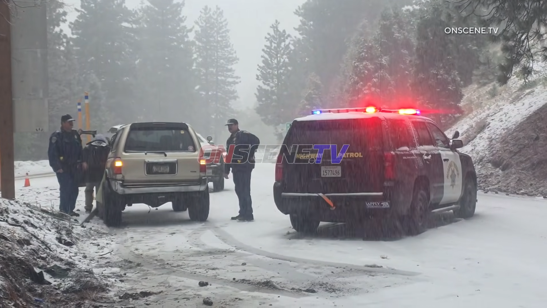
This one did not. California Highway Patrol officers used a tow strap and a patrol vehicle to pull the SUV back onto its wheels, and despite the damage, it drove away with no reported injuries.
The 4Runner, meanwhile, had already made its exit the hard way.
The video of the incident has a strong Top Gear energy, the kind that brings back memories of when they tried to kill a Hilux, and it just would not quit.
California Storm Turned Roads Slick in Minutes
For anyone picturing palm trees and sunshine, this is the part of California that people forget. At elevation, spring storms can hit fast and feel a lot more like winter, especially in areas like Running Springs, where conditions can change almost instantly.
The crash happened as a fast-moving storm swept through the mountains, turning roads slick within minutes as hail and graupel quickly built up on the pavement.
Part of what made it worse was the timing. The weather had appeared to ease earlier in the evening, likely giving the impression that the worst had already passed just before conditions turned again.
When the storm returned, it came fast, dumping hail and graupel before transitioning to snow. Within about an hour, it was over, and conditions began to improve as temperatures allowed the snow to melt.
What Was Falling From the Sky
Not everyone is familiar with graupel, but it shows up in storms like this more often than people realize. Graupel forms when supercooled water droplets freeze onto snowflakes, creating soft, round pellets that look like tiny foam balls.
Unlike hail, which is harder and formed in strong updrafts, graupel falls more like snow but builds up quickly. On the road, it does not pack down cleanly and can create a loose surface that reduces traction almost immediately.
When you mix graupel with hail and then transition into snow, the road surface can change minute by minute. What feels manageable one moment can turn slick the next, especially as temperatures and precipitation shift.
How CHP Got the 4Runner Back on Its Wheels
The recovery itself was simple, even if it looked improvised. Tow straps are built to handle significant force, and when used at the right angle, they can reposition a vehicle without heavy equipment.
Officers used a patrol vehicle to apply steady tension, allowing the 4Runner to roll back onto its wheels, a method that depends on traction, angle, and how the vehicle lands, and not every situation allows for it.
This one did, and once it was upright, the 4Runner did the part that makes this stand out. It drove away.
Spring Mountain Driving Is Not Post-Winter
Storms like this are a reminder that spring in the mountains does not mean winter conditions are gone. Late-season systems can move quickly and hit hard, especially at elevation, where rain in lower areas can turn into hail, graupel, or snow just a few thousand feet higher.
A break in the weather does not mean it is over, and conditions can reverse quickly, especially in the evening when temperatures drop. Chain controls exist for a reason, and waiting until you are already sliding is the worst time to realize you needed them.
This storm lasted about an hour, which was enough to flip a vehicle and leave a stretch of mountain road in rough shape. It was also enough to show that sometimes, a vehicle takes the hit and keeps going.