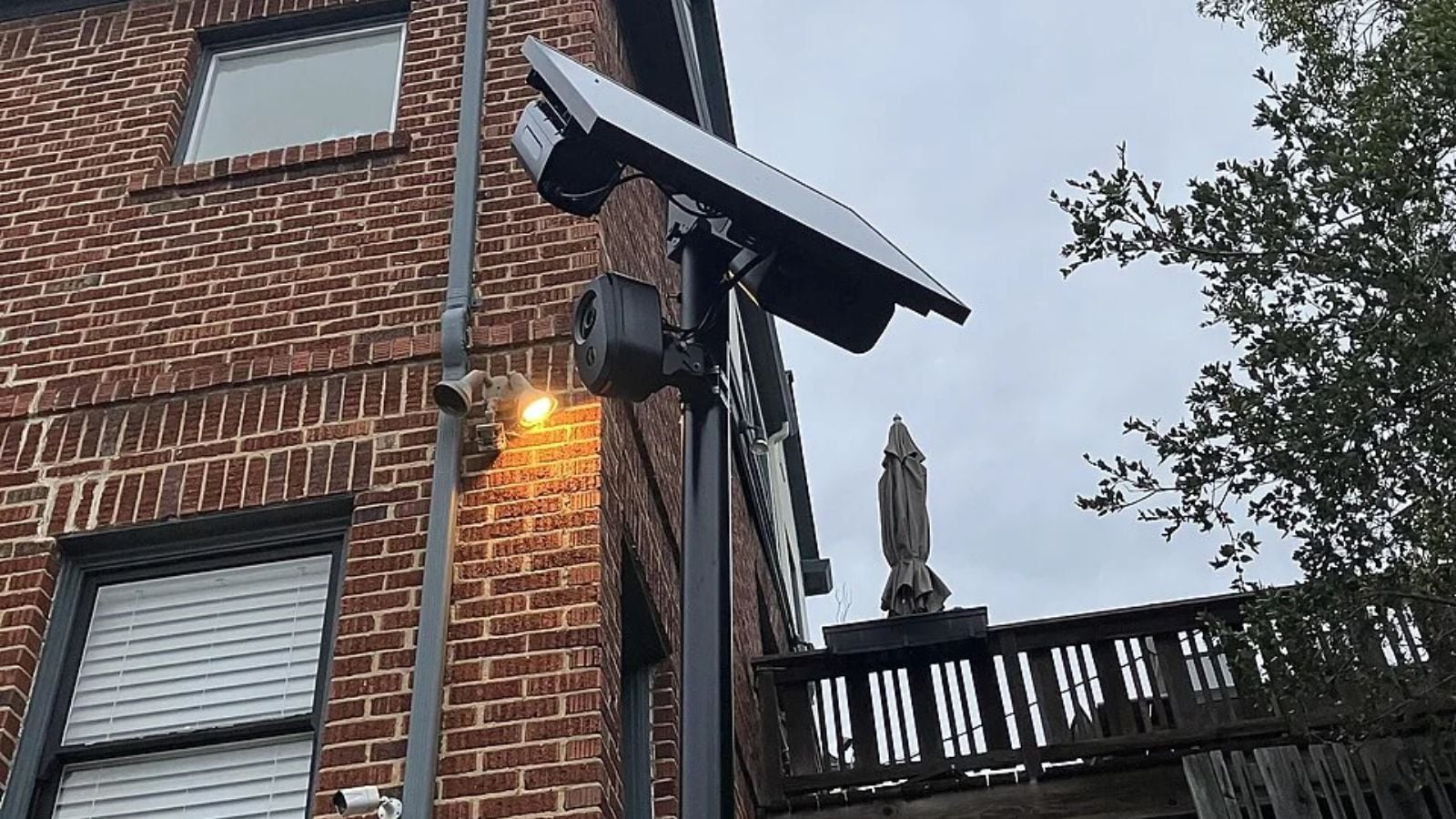
Flock Safety has built one of the largest automated license plate recognition networks in the United States, with the company publicly stating that its system includes over 120,000 cameras nationwide. A newly published database suggests the surveillance infrastructure connected to Flock could be considerably larger.
Cybersecurity researcher Joshua Michael has mapped roughly 300,000 devices using data he says came from Flock’s own systems. According to The Intercept, the dataset includes over 170,000 cameras alongside approximately 130,000 other devices supporting or connected to the network.
Michael published the information through FlockSurveillance, creating a searchable map that allows the public to examine the locations and types of devices recorded in the dataset. Unlike community-built camera maps, Michael says his project is based on a December 2025 snapshot of records obtained through a publicly exposed access token.
Flock apparently isn’t happy about the project being online. One day after the map was published, Michael reportedly received a trademark complaint from security company Doppel, which said it was acting on Flock’s behalf and requested that the website be taken down.
The Map Suggests Flock’s Network Is Enormous
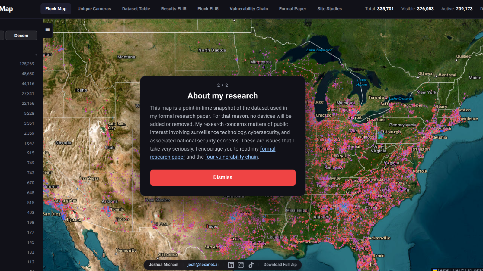
The headline figure of approximately 300,000 devices requires some context because not everything in Michael’s database is an automated license plate reader. More than 170,000 entries are identified as cameras, while the remaining devices include networking equipment, third-party camera integration hardware, and around 27,000 acoustic detection devices.
The camera count is the more relevant comparison with Flock’s publicly stated figure of over 120,000 cameras. Differences in dates, classifications, and methodology could account for at least part of the roughly 50,000-camera discrepancy, and Michael’s dataset itself dates back to December 2025.
The map also identifies individual pieces of equipment by model, including Flock’s Falcon cameras and accompanying Picard processing hardware. Some entries contain names associated with specific locations, providing an unusually detailed picture of how the company’s technology has been deployed.
Cameras Appear At Some Sensitive Locations
The Intercept reported that it visited six randomly selected locations shown on Michael’s map in Arizona and found a Flock camera at each of the indicated coordinates. The dataset also contains devices apparently associated with detention facilities and other government locations.
One particularly notable entry is labeled “FBI Pilot Camera” and is mapped to the J. Edgar Hoover Building, the FBI’s headquarters in Washington, D.C. Another large concentration consists of hundreds of devices associated with the Rosemont Public Safety Department near Chicago O’Hare International Airport.
Michael argues that mapping the network raises security questions because automated license plate readers can record vehicle movements across large geographic areas. Flock and law enforcement agencies have promoted ALPR technology as a tool for investigating crimes, while privacy advocates have repeatedly raised concerns about access, data sharing, and the scale of vehicle-location tracking.
The Data Came From An Exposed Access Token
Michael says he discovered the underlying issue in November 2025 while examining Flock’s publicly accessible web infrastructure. According to his account, an access token could be obtained without logging in and then used to query ArcGIS, the geographic information platform Flock was using, for device-location information.
He says he contacted Flock several times beginning November 13 and described his testing as non-intrusive, involving publicly accessible endpoints rather than bypassing authentication. Flock eventually acknowledged his report and said the company was internally reviewing the findings.
Michael downloaded the device-location data in December and later published a technical explanation of his discovery in January 2026. The exposed access route was subsequently closed, although Michael says Flock never provided him with a substantive follow-up.
Flock’s Takedown Effort Centers On Its Trademark
The map went public on September 23, coinciding with a U.S. Senate Judiciary subcommittee hearing examining Flock and the privacy implications of nationwide automated license plate recognition. The following day, Michael says he received a trademark infringement complaint from Doppel, a company describing itself as an AI-powered social engineering defense platform.
According to The Intercept, Doppel said it was acting on Flock’s behalf and argued that the site’s use of the “FLOCK SAFETY” trademark could create customer confusion or harm. The complaint requested that the website be taken offline.
Michael’s site includes a disclaimer stating that it is neither affiliated with nor endorsed by Flock. Whatever ultimately happens to the website, its underlying dataset provides an unusually detailed snapshot of Flock’s surveillance footprint — and with the records dating to December 2025, the company’s network may already look different today.