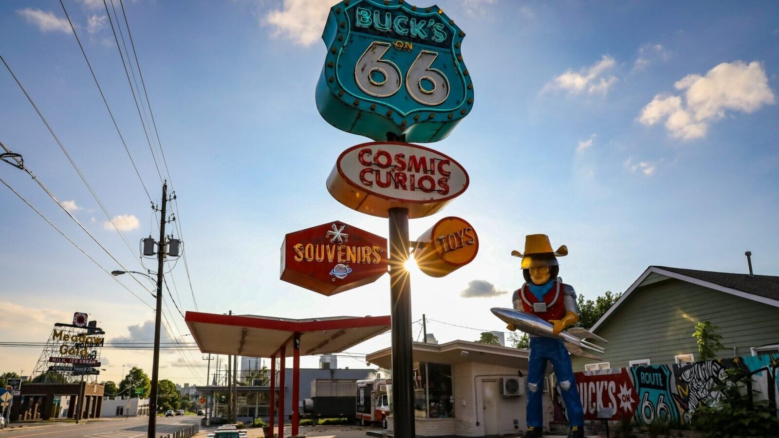
Few stretches of pavement are as deeply intertwined with American car culture as Route 66. Even decades after it officially disappeared from the U.S. Highway System, the Mother Road remains synonymous with long-distance road trips, roadside diners, neon motels, and the freedom of heading west.
Driving the whole thing is still a bucket-list trip for plenty of enthusiasts. Finding your way along the historic route, however, isn’t quite as straightforward as following signs for a modern interstate.
One developer decided to make that a lot easier. Jake Boyles, creator of the Pit Stop road trip app, spent the summer mapping Route 66 and the thousands of places travelers can find along the way.
The result is an interactive visualization covering all 2,199 miles, allowing anyone to virtually travel from Chicago to California without burning a gallon of gas. Of course, staring at a screen isn’t quite the same as actually putting miles beneath your tires.
All 2,199 Miles In One Place
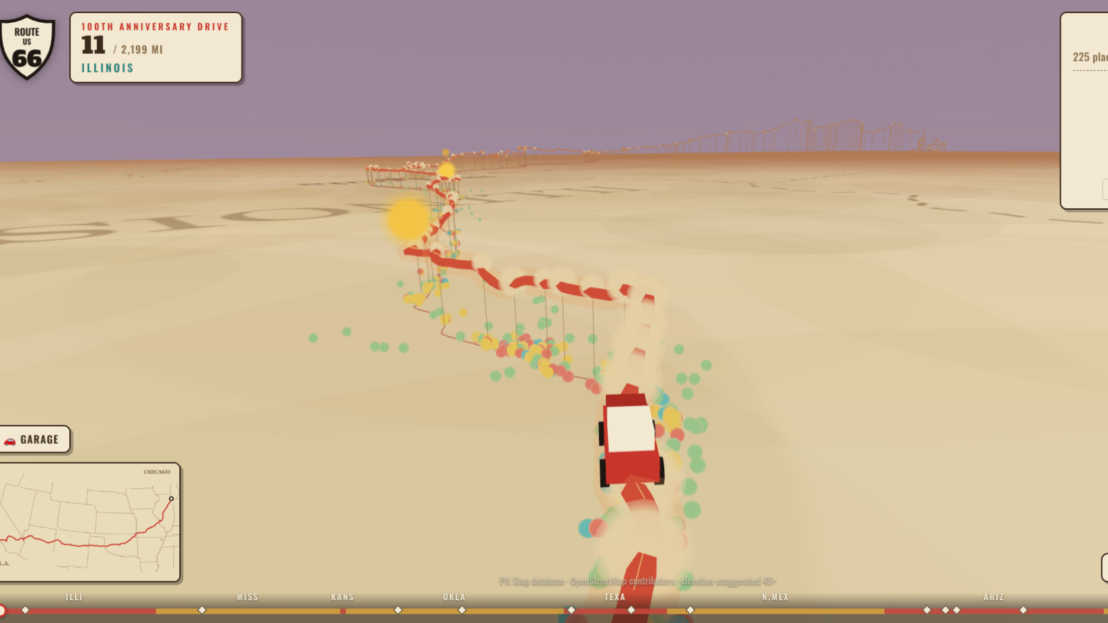
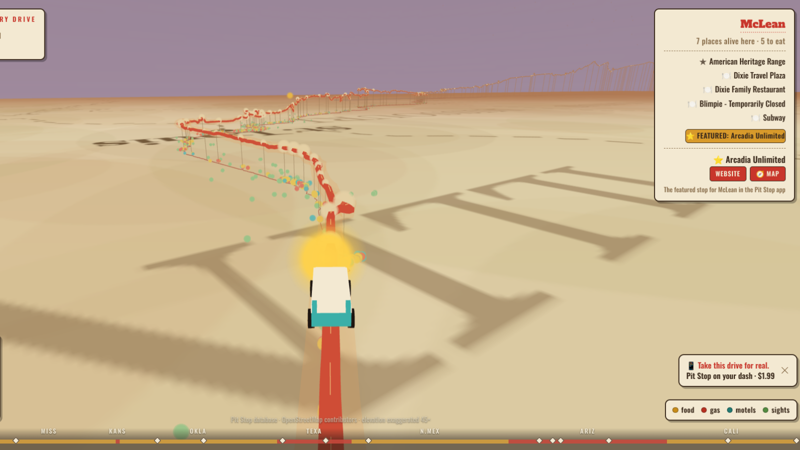
The original Pit Stop visualization lets users scroll along Route 66 from downtown Chicago to Santa Monica, California. It displays the road’s elevation profile alongside towns and attractions scattered across the journey.
Boyles explained on Reddit that the project involved mapping roughly 2,400 places to eat and 1,300 motels across 280 towns. Gas stations and other useful stops are included as well, making the project useful for people planning an actual Route 66 adventure rather than merely exploring from home.
There are some fun automotive touches, too. The visualization lets users select different vehicles to travel across the screen, including a turquoise classic and a white roadster reminiscent of the Corvettes associated with the Route 66 television series.
Route 66 Isn’t Really One Continuous Highway Anymore
Route 66 hasn’t officially existed as a federal highway since 1985. Interstate highways gradually diverted traffic away from it, while individual sections were abandoned, renamed, or incorporated into other roads.
Travelers can still follow much of the historic route, although its condition varies considerably. Some stretches remain ordinary paved roads, while others have deteriorated or disappeared from practical use.
The attractions along the way are arguably as important as the pavement itself. Route 66 passes through places such as Winslow, Arizona, while Meteor Crater sits nearby, alongside countless diners, motels, and roadside curiosities that helped establish the road’s mythology.
A Century Of Road-Trip Culture
Route 66 was established on November 11, 1926, connecting Chicago with Los Angeles before later being extended to Santa Monica. Its importance eventually stretched well beyond transportation, becoming an enduring symbol of American mobility and road-trip culture.
That history makes Boyles’ project particularly timely as Route 66 reaches its centennial era. The interactive map can’t replicate the smell of an old diner, a desert sunset, or several thousand miles of bugs accumulating on your windshield.
Still, if you’ve ever wondered what lies along America’s most famous road, you can now explore the entire thing from your couch. It might also make planning the real trip considerably easier.